Residents in Lota, Manly, and neighbouring bayside suburbs are among thousands across Brisbane set to appear on a newly updated flood risk map to be released next month.
Read: Manly and Nearby Suburbs Eligible for Cyclone Alfred Relief Payments
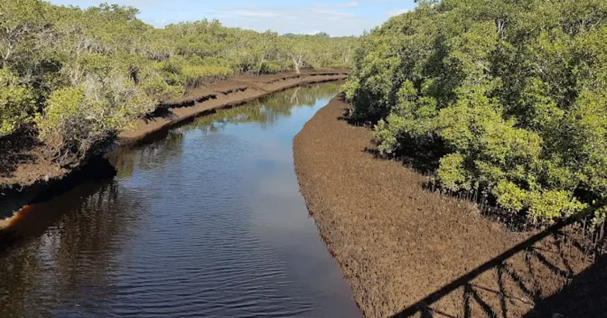
From 19 September, the council will incorporate revised flood modelling into its planning scheme, reflecting the latest studies conducted in the Lota Creek, Breakfast Creek, and Jindalee catchments. City-wide, 17,246 properties will be affected: 10,129 properties will be included for the first time, more than 2,000 properties will shift into a higher risk category, and about 400 properties will be removed.


For the bayside, the Lota Creek catchment spans parts of Lota, Manly, Manly West, Ransome, Wakerley, Gumdale, and Chandler. The updated modelling focuses solely on creek and waterway flooding, meaning it does not apply to Brisbane River or overland flooding. The mapping reflects recent flood events, advances in technology, and new national guidelines that account for greater climate change impacts, raising projected rainfall allowances in modelling by as much as 60 percent.


Council says the revised flood awareness tool is intended to help residents better understand potential risks, make informed property decisions, and plan for resilience. Some affected properties may face only a very low likelihood of flooding, such as a one-in-2,000-year event, but will still be included for awareness and planning purposes.
While the council has urged insurers not to use the new mapping to impose excessive premium increases, it has acknowledged it cannot control how insurance companies respond. Residents concerned about potential financial impacts are encouraged to contact their insurer and, if necessary, seek competitive quotes.

For those in the Lota Creek catchment, especially low-lying streets near the creek mouth and adjacent wetlands, the update is an opportunity to review flood preparation plans, consider property modifications, and understand the level of risk, however small, that may now apply.
Resident Checklist: Lota & Manly Flood Risk Map Update
1. Check your property’s updated flood risk


- Visit Brisbane’s Flood Awareness Map online.
- Enter your address, select the Creek/Waterway Flooding layer, and review your property’s category.
2. Read your council letter carefully
- Look out for an official letter from Council explaining your flood category change.
- Keep this for insurance and property records.
3. Contact your insurer
- Inform your insurer of your current risk category and request confirmation of any premium changes.
- If your premiums rise, compare quotes from other providers.
4. Review your flood preparation plan
- Identify evacuation routes and nearby safe areas.
- Keep an emergency kit with essentials such as bottled water, non-perishable food, important documents, and a torch.
5. Consider property upgrades
- For homes in higher risk zones, explore flood-resilient building materials, raised electrical outlets, and improved drainage.
- Seek professional advice for cost-effective flood mitigation.
Read: Cyclone Alfred Aftermath: Road Closures and Recovery in Tingalpa
6. Stay informed
- Subscribe to council alerts for severe weather warnings.
- Attend any community information sessions if announced for the Lota Creek catchment.
7. Keep communication open
- Talk to neighbours, especially if they’re elderly or new to the area, so they’re aware of the changes.
- Share reliable information, not rumours, about the flood map update.
Published 14-August-2025